


Chocorua Map app for iPhone and iPad
Developer: Richard Allmendinger
First release : 05 Nov 2019
App size: 188.99 Mb
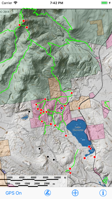
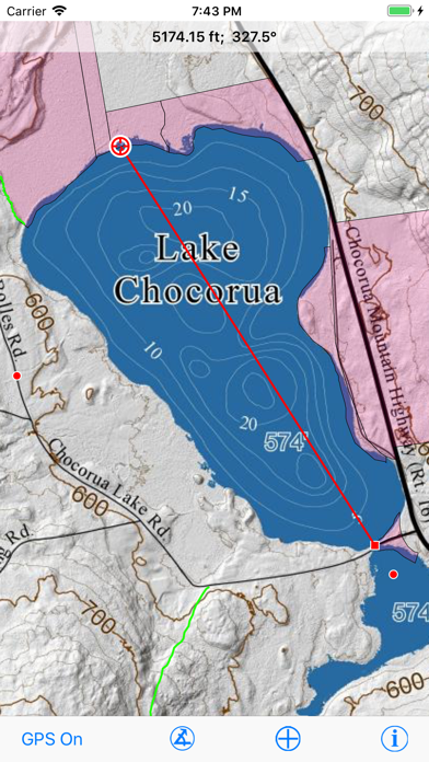
The Chocorua Map app is a mobile guide to trails and points of interest (POIs) in and around Chocorua Lake, especially the area preserved, directly or indirectly, by the Chocorua Lake Conservancy (CLC). If you allow the app to use your location (e.g., GPS), you can find and track your position on the map. Tapping on a trail not only reveals the trails name and length but also the distance of the point tapped from the beginning and end of the trail so you can answer that age-old question "how much farther...?". Measure distances and compass bearings by tapping and dragging on the map. Publicly accessible lands of different types are shown with transparent color overlay. The background map was rendered from LiDAR topography and has a resolution of 1 meter.
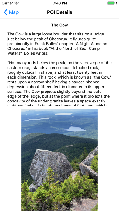
The apps built-in POIs describe sites of historical interest, unique landscape features and how they developed, and features of geological and ecological significance. The user may enter their own POIs and attach photos to them; all user-entered information remains private to users device. The user can share their POIs with other people or apps via the standard iOS Sharing Panel. The app is completely self-contained: No internet connection is necessary. Furthermore, user data is NEVER uploaded automatically to the Internet and can never be by the app programmer, CLC, or any other third party.
This app is for educational purposes only and should not be used as a sole source of navigation. The CLC and the author are not responsible for the accuracy of any of the information presented by this app.